UBOS to use GIS technology in 2023 NHPC Data Collection Management
- FEATUREDNEWS
- November 17, 2022
- No Comment
By Evans Najuna
Kampala – Uganda Bureau of Statistics (UBOS), has confirmed that it will use geographical information system (GIS) technology in data collection and management for the 2023 national housing population census exercise.
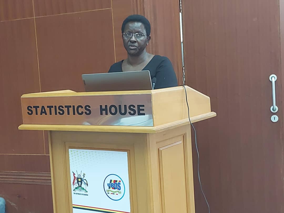
This was revealed on Wednesday while celebrating the world GIS day celebration on 16th November at the Statistics House in Kampala.

GIS technology is a scientific framework for collecting, analysing, displaying data and informing decision making.
In the previous population census exercises, data was collected basing on manual and hard copy mappings and currently the bureau is working on mapping across the country.

This will help in finding actual and updated boundaries of the country which will be used for 2023 census, the data will be further used in future by UBOS and other government agencies for the next 10 years.
While addressing the participants who attended the world GIS celebration including representatives from the Office Prime Minister, ministry of lands and urban development, KCCA, National Planning Authority, Uganda Red Cross Society, Makerere University among others, Helen Naviiri Namirembe, the director of population and social statistics said that in celebrating GIS day is a chance of addressing goal No-3 of the national statistics development of 2020 ending 2024.
She added that under goal No-3, there’s need to adopt and appreciate technology for data collection and GIS is a key component in the data collection value chain.
Naviiri not that GIS technology is not only for collecting data but also for monitoring human resource capacity, evaluation, and support systems among others.
Speaking to journalists on the sidelines of the celebrations, Charles Adriku, a senior GIS expert at UBOS said that the bureau appreciates the use of technology because some years back, they were using mental work technology and hard copies but with GIS, they have advanced and able to work faster than they used to do.
However he said that there are number of challenges like the cost of setting up the technology , and urged government to invest in technologies so that they can be to collect data quickly and easier.
Adriku added that without GIS, data collection would be more difficult because traversing the country with 152 districts and approximately 70,000 villages would be very expensive to carry out and a lot of time would be wasted in the process.
He concluded that the use of satellite imagery has improved the quality of enumerator area boundary delineation and identification as opposed to the old topo base maps, and also reduced the cost of mapping the entire country.